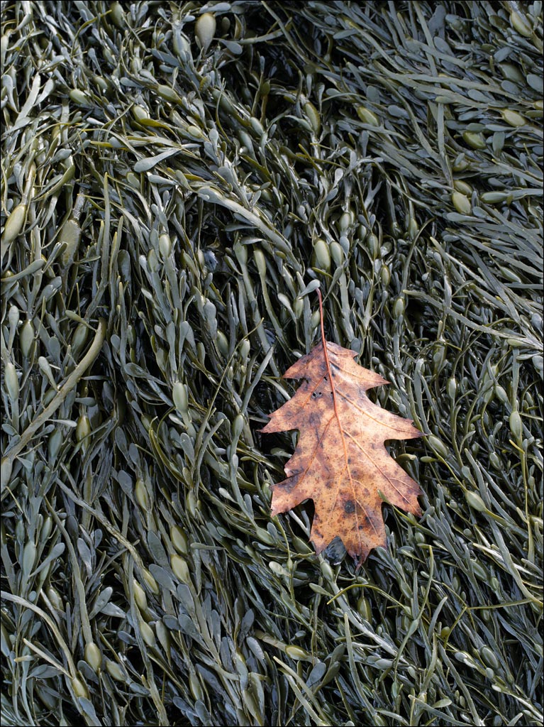
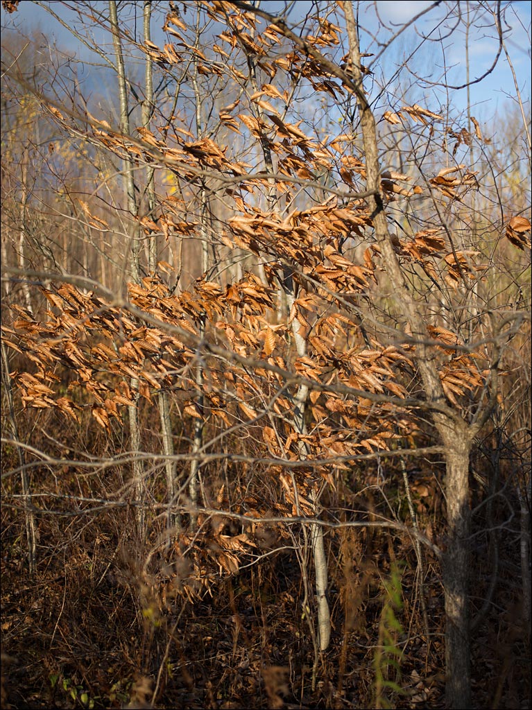
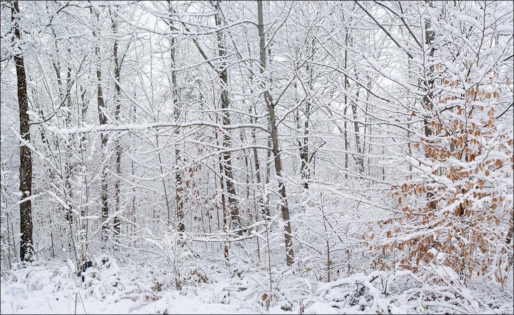
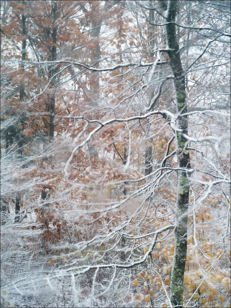
 It was bad enough to get hit with an unusually early blizzard two weeks ago, but then to wake up Friday morning to find we had another was discouraging. Fortunately, like with most early storms, we did not have to shovel the driveway and most of the snow melted during the day. UPDATE: It is snowing again this morning. Click on the image for a larger view of our forest on Friday morning.
Tag Archives: Nature
Still Waters
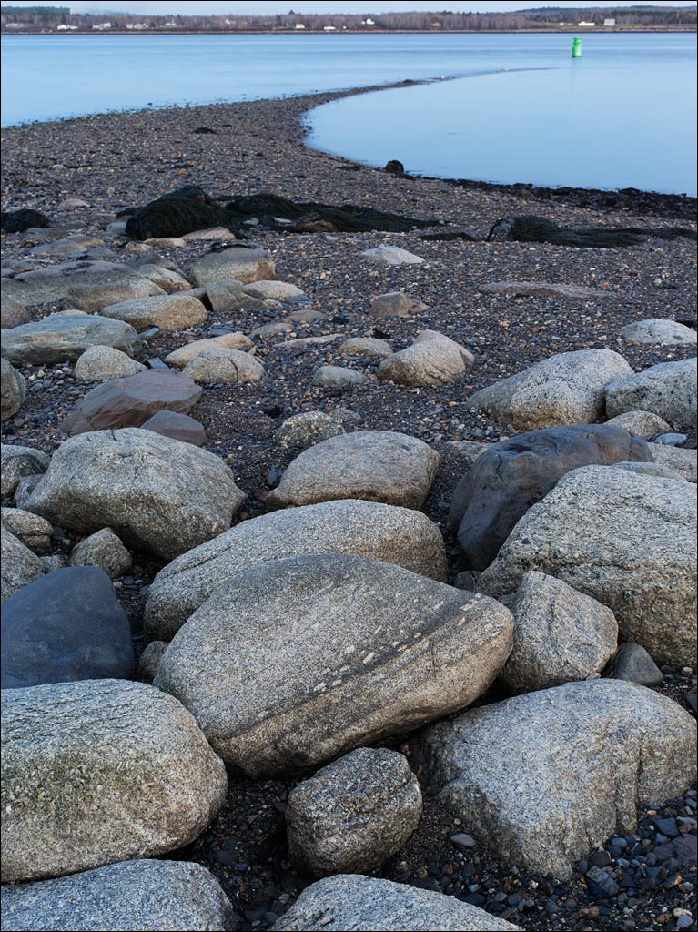 Fort Point State Park is on Cape Jellison in Penobscot Bay. The Penobscot river is part of the largest system of tributaries in Maine. Between the tidal influences of the Gulf of Maine and this river system, the seeming peaceful waters in Penobscot bay are deceiving. The tidal sandbar that protrudes from Fort Point is shaped by these forces—the sign warning of riptides and a prohibition against swimming on the way to the beach is a reminder.
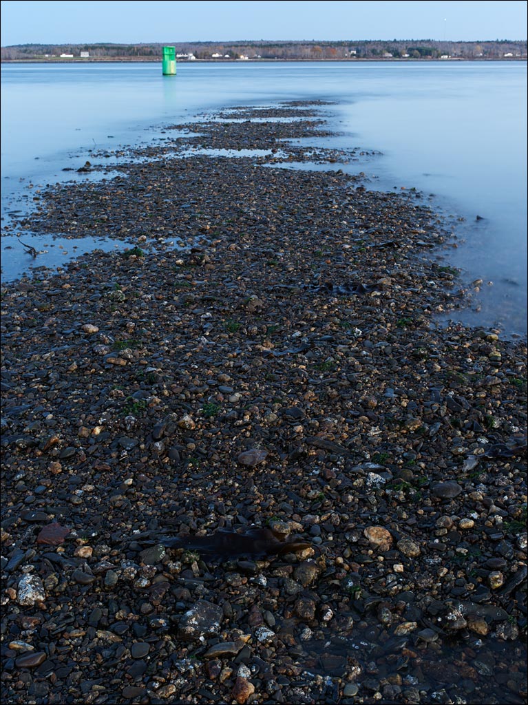 Standing on the sandbar at low tide is strangely peaceful—it feels like being on the shore of a lake. But there is also an uneasiness in this exposure, as if a monster lies below the surface waiting to rise and take you away. Click on the images for a larger view.
Signs of Fall
Sandy Point Beach State Park
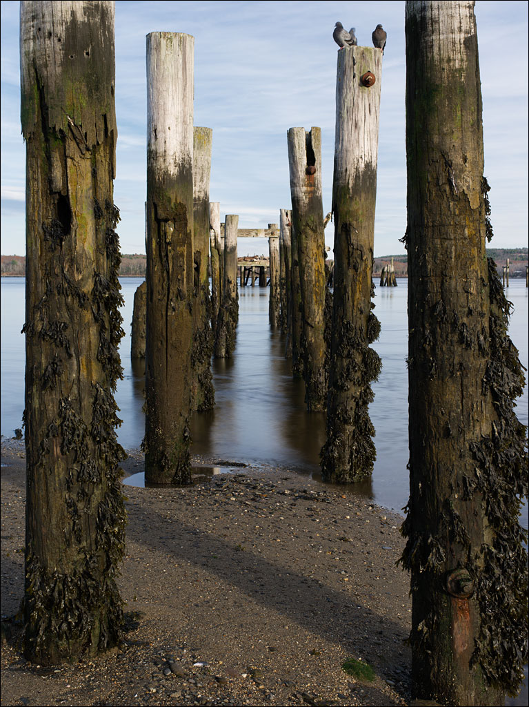 At the northern end of Penobscot bay in Stockton Springs is a small small state park. This time of year, it is mostly inhabited by locals coming out for a stroll by themselves or with their dogs. Most people have a smile or greeting for strangers.
While maybe not the most exotic place in Maine, Sandy Point Beach has a long history going back to the paleolithic. The artifacts that most visitors see belong to the 20th century. These pilings are from an abandoned wharf of a fertilizer plant that closed in the 1970s. As you can see from the exposed seaweed clinging to the pilings, this is low tide. Click on the image for a larger view.
Memories of the Wind
Pleasant Pond, Late Fall
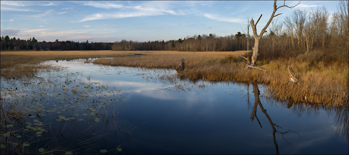 Pleasant Pond is a common name for lakes in New England. This is one of several lakes in Maine that bear that name. It was not long ago that this landscape was green. The brilliant red and yellow foliage passed even faster. It will not be long before the browns are replaced with white. Click on the image for a larger view.
Pause
First Snow
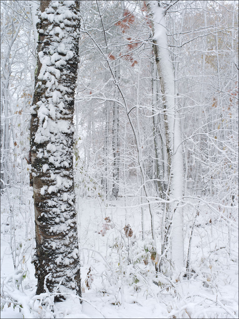 Blizzard conditions moved through Maine yesterday. This is the earliest snow on record. High winds and wet, heavy snow caused us to lose power to our home until Monday. With leaves still on our apple trees, this snow was a real threat. Fortunately, I was able to clear most of the snow off our apples during the storm.
  The world suddenly looks very different—the five following images we posted last week were taken the previous Saturday and Acadia received more snow than we did. These images were taken in the blizzard. Click on them for a larger view.
Sand Beach
 Sand Beach is one of the most popular destinations in Acadia National Park. While Maine has a long coastline, most of it is rocky. In late October, the area is populated by a few dozen people (in summer, when the water temperature is no warmer than 55°F/13°C, huge crowds come to swim). The outlet for Beehive Lagoon cuts through the beach next to Great Head. Otter Cliffs and Baker Island can be seen on the horizon. Click on the image for a larger view.
Coastal Forests
 The summit of Great Head in Acadia National Park is a testament of the resilience and diversity of life. Spruce/fir forests dominate the harsh coastal environment. Plants take any opportunity in every small patch of soil between the granite slabs. Late fall stratifies these colonists into a diverse palette of color. Click on the image for a larger view.

