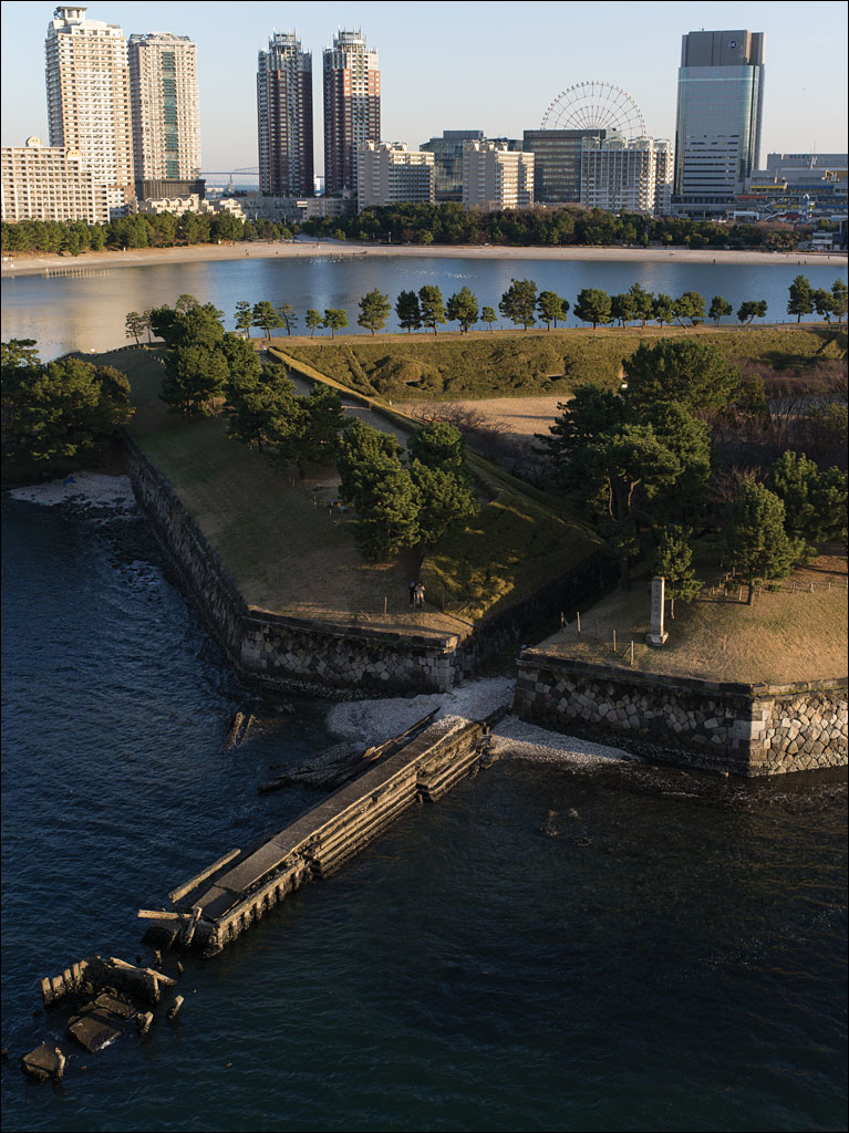
 What looks like a peaceful Japanese garden is Number 3 Daiba, a fortification built in 1853 as a response to attempts by US Commodore Perry to open Japan. Beyond that is the artificial island of Odaiba, which was constructed after World War II and one of the planned sites for the 2020 Tokyo Olympic Games. Between the two high-rise apartment building on the left is Tokyo Gate Bridge, the furthest extent of the city into the bay. Number 3 Daiba was originally built several kilometers off the coast of the city in open water. This image comes from our book Earth, Water, Fire, Wind, Emptiness: Tokyo Landscapes. Click on the image for a larger view.
Tag Archives: Pentax 645D
Kasai Rinkai Park
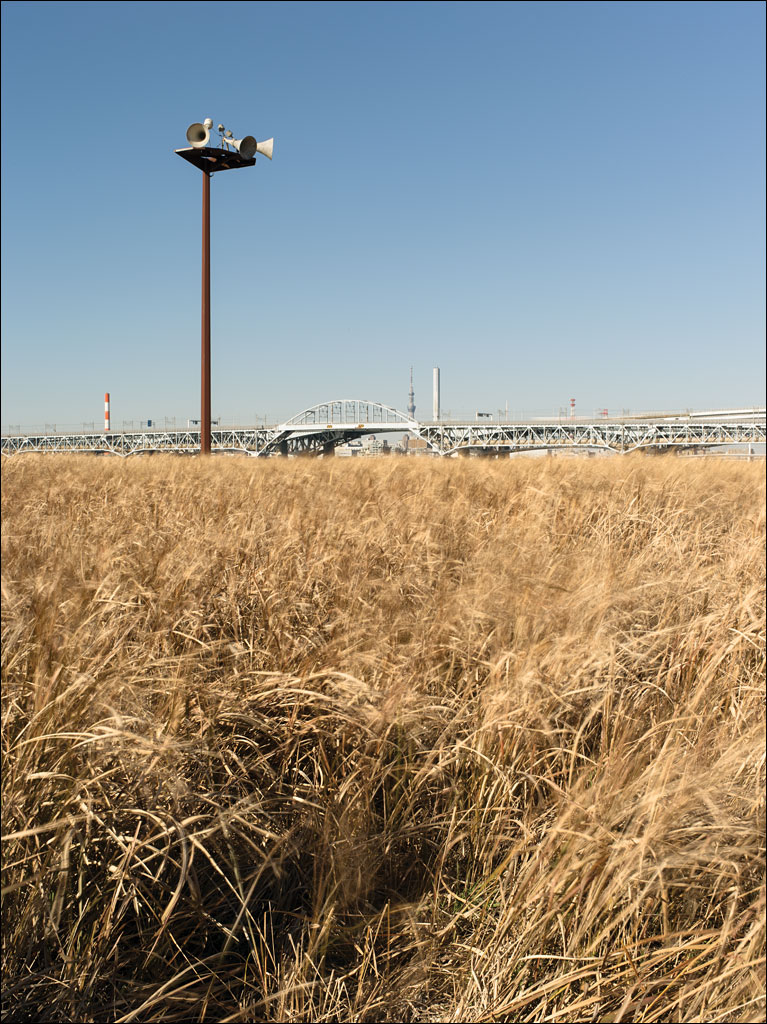 Kasai Rinkai Park is on Tokyo Bay. It is an artificial island built to preserve the natural habitat of Tokyo bay destroyed by development. The bridge in in the background is the main highway that connects Tokyo with Chiba, Tokyo Disneyland, and Narita International Airport. The loudspeakers on the post warn people of approaching tsunamis. This image is from our book Earth, Water, Fire, Wind, Emptiness: Tokyo Landscape. Click on the image for a larger view.
Ōkeanos
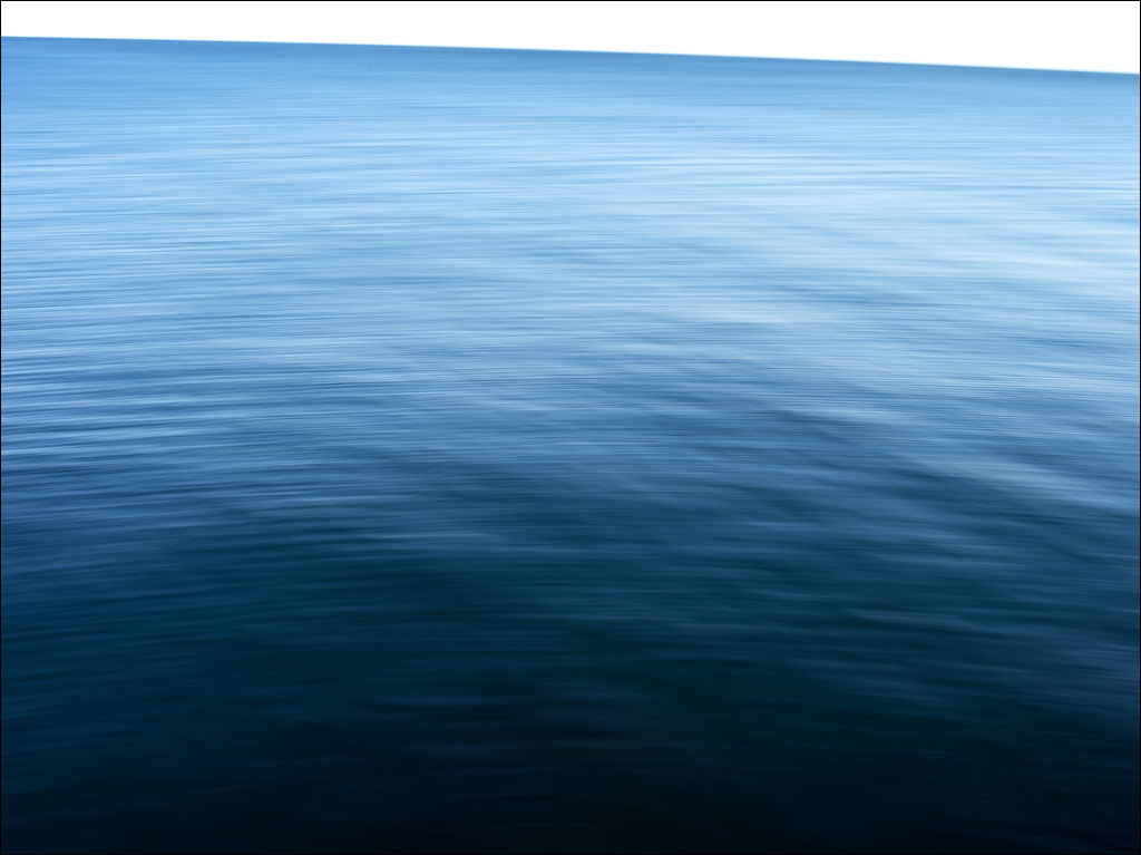 Ōkeanos is the Greek for “the great stream encircling the Earth’s disk.” This word was transformed in middle English to the word we are familiar with: ocean. Click on the image for a larger view.
Tokyo Gate Bridge
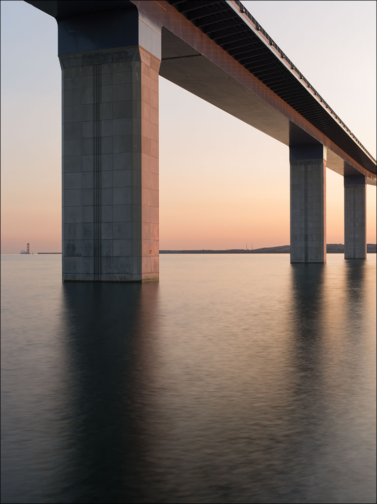 If there was a defined edge to the city of Tokyo, this would be it. Tokyo Gate Bridge is the furthest public highway built out into Tokyo bay. The island on the horizon is Chuo Bohatei, Tokyo’s largest landfill, which is reaching the edge of the municipality’s border. This image is from Earth, Water, Fire, Wind, Emptiness: Tokyo Landscape. The image is also an optical illusion: can you tell if the bridge piers are getting thinner or taller the further away they are? Click on the image for a larger view.
Edogawa
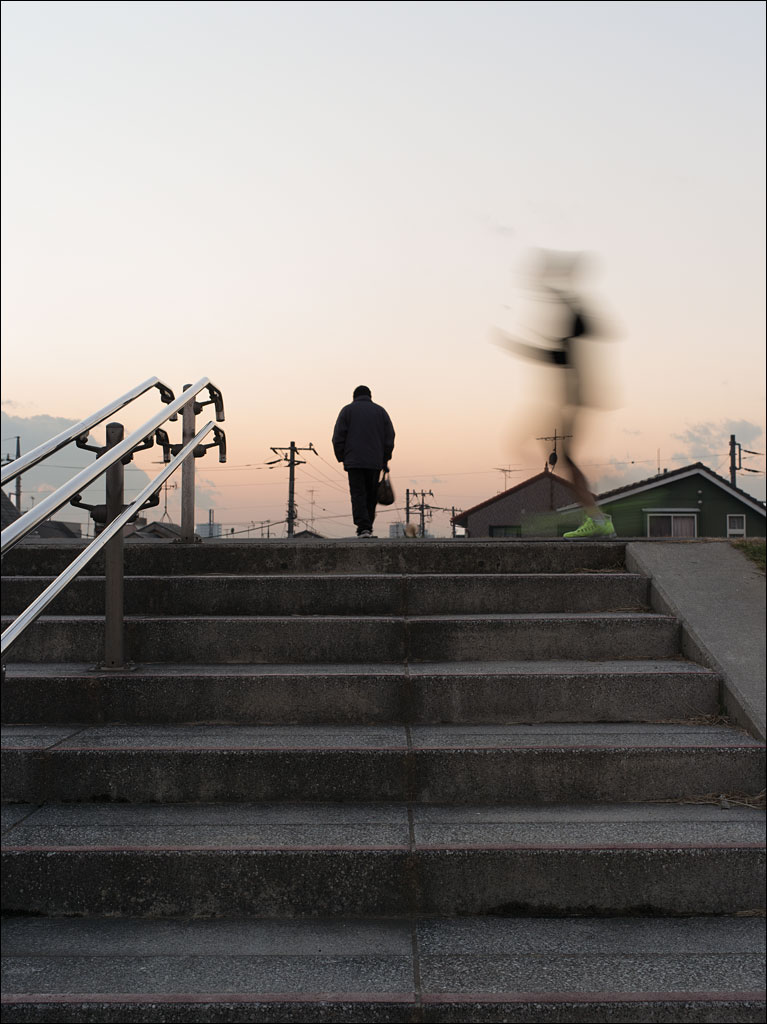 The levee along Edogawa or Edo river is 10m or 30 ft. above the river course. The land on the other side is near sea level. The population density for this Tokyo ward is 13,900 people/km² or 35,900 people/sq. mi. Millions of people are protected from riverine flooding by these structures. This image is from Earth, Water, Fire, Wind, Emptiness: Tokyo Landscape. Click on the image for a larger view.
Jyonanjima
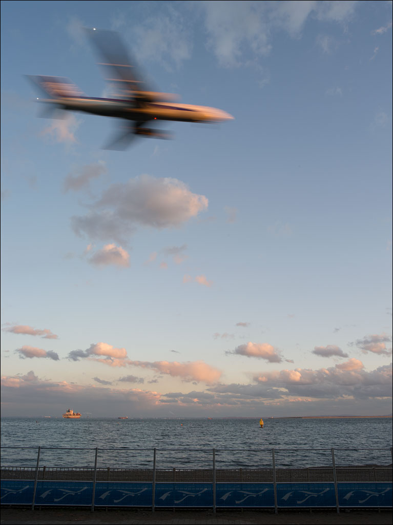 Jyonanjima Seaside Park is built on an artificial island in Tokyo bay. Since this island lies on not only the busiest shipping route into Tokyo harbor, but also along one of the flight paths to Haneda International Airport, its popularity is surprising. And while it is one of the few places residents of the city can enjoy a sand beach, the water is too hazardous to allow swimming. Click on the image for a larger view. This is from our book Earth, Water, Fire, Wind, Emptiness: Tokyo Landscape.
The Color of Night
Northern Mockingbird
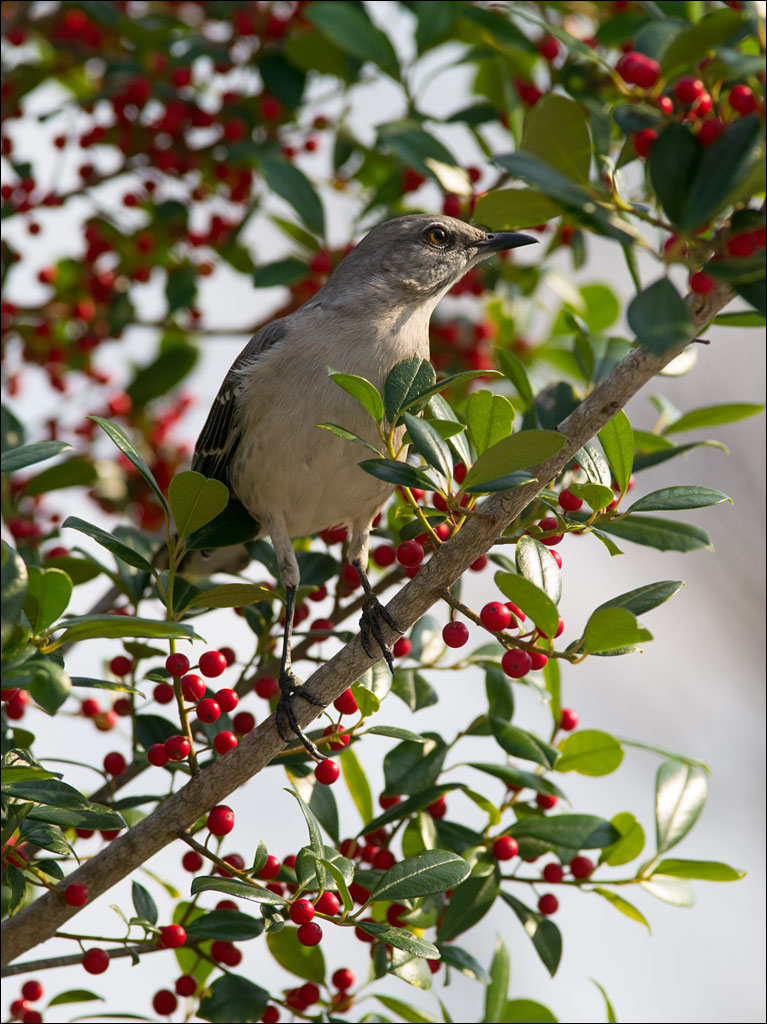 We were visited by a Northern Mockingbird this afternoon. While the plumage of this bird is subdued, its song is complex and beautiful, giving it its latin name, Mimus polyglottos, the many-tongued mimic. It serenaded us for several minutes while feeding. Continue reading
Pacara Earpod Tree
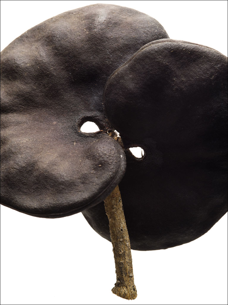 Since moving to Florida, I have found the Pacara Earpod Tree, Enterolobium contortisiliquum, fascinating. I have photographed it several times: here and here. These are the seed pods that give the tree its name and are about 7 cm in diameter. Not surprisingly, the tree is a member of the pea family. And being a member of the legume family, this tree is a huge nitrogen fixer. It is, however, an invasive species. Click on the image for a larger view.


