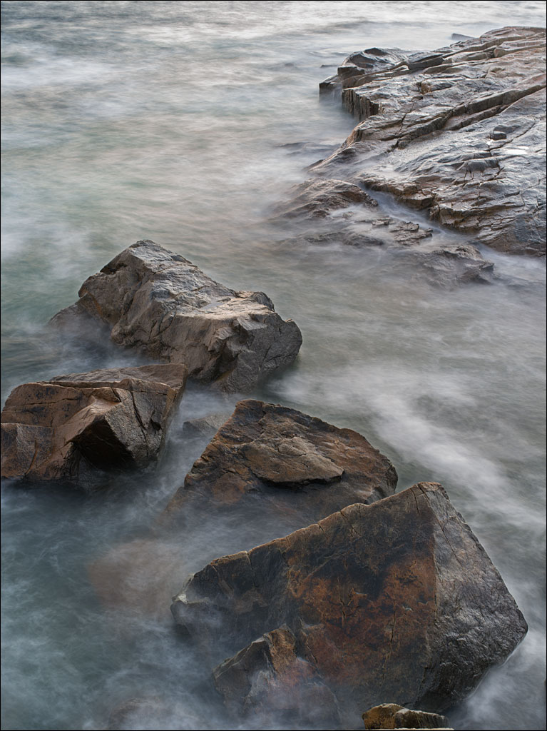
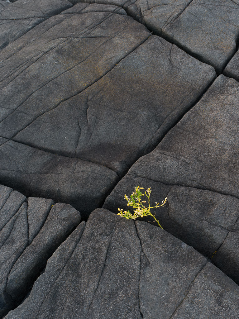
 Between the warm granite of Schoodic Point are black seams of basalt. Several hundred million years ago, this basalt (technically diabase) flowed through the fractures in the granite bedrock. The dating of these features shows these represent multiple events over time. Click on the image for a larger view.
Tag Archives: Schoodic Point
Illusion of Optics
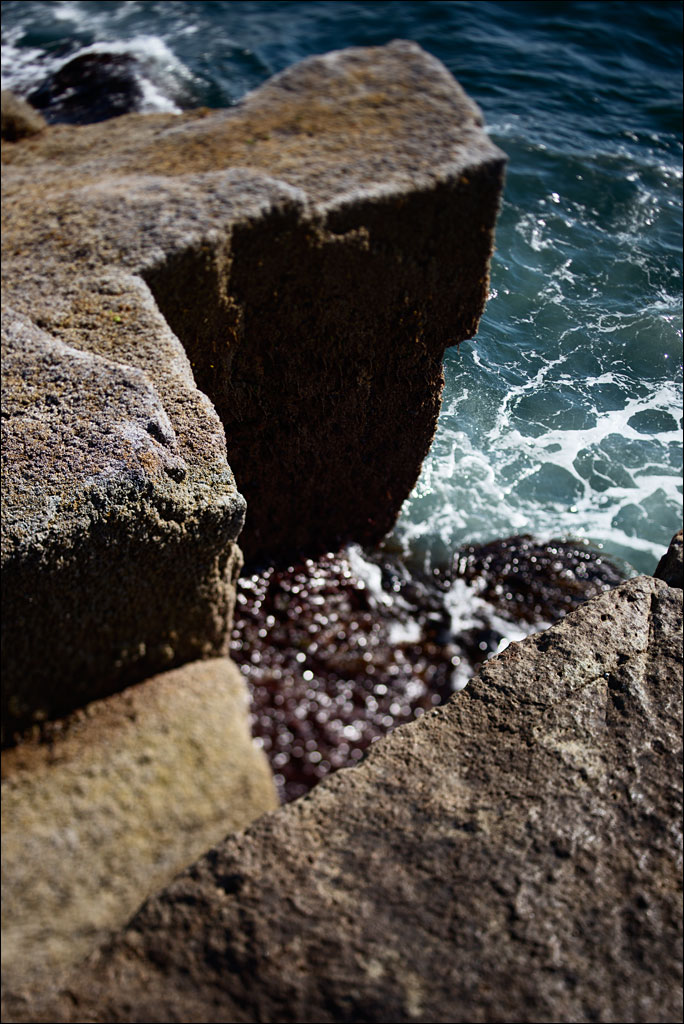 The rocks at Schoodic Point in Acadia National Park. One of the most interesting things about photography is the ability to present the world in a way that a person could not perceive naturally. When a group of objects are in focus, when they appear sharp, it is usually because they are all the same distance from the observer. That does not need to be true for a camera (no Photoshop gimmick here). Click on the image for a larger view.
Reversing Falls
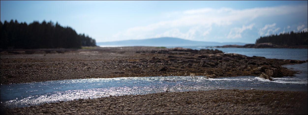 Reversing falls are caused when the water level between one water body and the ocean is different at high and low tide. West Pond on Schoodic Peninsula in Acadia National Park has a reversing falls. This image shows low tide where the land on both sides of the falls, the stream in the foreground, would be submerged at high tide. The trees at the left are on Pond Island, which marks the extent of the high tide. Mt. Desert Island is at the horizon. Click on the image for a larger view.
Sea and Land
September Seas
Schoodic Peninsula
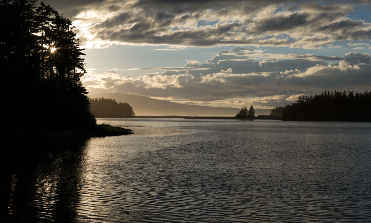 Acadia National Park is a magical place. It is also a very popular destination. Schoodic Peninsula is a small section of the park that is off the beaten track. It is a hour or so by car from the main park, a drive that takes you through a series of small Maine villages that have not had the commercial development of places like Bar Harbor and Ellsworth. This view across West Pond shows Mt. Desert Island (pronounced like the verb to desert, rather than the noun desert) in the distance—click on the image to enlarge it. A one-way loop road takes you to Schoodic Point and the Gulf of Maine.


